Geographical Information Systems and Spatial Mapping
Geographical Information Systems (GIS) and spatial mapping are essential for maximizing the potential of photogrammetry, providing the necessary geospatial context, accuracy, and management capabilities for both cinematic production and scientific research. By integrating high-resolution photography with GIS data (GPS points, topographical data), photogrammetry transforms 2D images into precise 3D digital models, orthomosaics, and elevation models.
In moviemaking, this combination is critical for creating, managing, and animating 3D assets to achieve photorealistic, immersive environments (e.g., in The Mandalorian or Blade Runner 2049). It enables the scanning of real-world locations, props, and actors, allowing filmmakers to blend virtual and live-action elements seamlessly. GIS ensures these digital assets are correctly scaled and positioned, facilitating realistic lighting and environmental effects.
In scientific research, GIS and spatial mapping provide the foundation for accurate, non-destructive, and efficient field data collection. It is crucial for topographic mapping, archeological documentation, and environmental modeling, such as tracking glacier movement or deforestation. The integration of photogrammetric data into GIS allows researchers to analyze spatial relationships, monitor temporal changes, and perform high-resolution 3D visualization to support scientific discovery and decision-making.
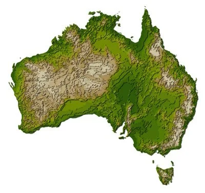
Insight CEO, Dr Mark Griffin, is a data scientist and engineer with over 30 years of experience using Spatial Mapping within our scientific research and our social research. A major focus of this work has been on the use of Geographical Information Systems to understand the spatial variation in health and social services across Australia. We also have a gallery of some of the photos and videos that we have captured on Our Research and Photogrammetry. We would like to work with you on the capture and analysis of spatial data. We also provide training Geographical Information Systems and Spatial Mapping.
Insight is based within the Gold Coast Health and Knowledge Precinct. Insight CEO, Dr Mark Griffin, is a committee member with Engineers Australia and Australian Science Communicators. Our staff are members of the Australian Academy of Cinema Television Arts (AACTA). Insight is a member of Experience Gold Coast.